Independent, written in Wayne County, checked against primary sources
The Capitol Reef National Park Guide
Capitol Reef is the least crowded of Utah's five national parks and the hardest to plan for, because almost everything that matters here depends on a road, a season or a gate. This site exists to answer the questions that actually decide a trip: whether the dirt road is open, whether your rental car can do it, what the guided trip costs, which bed is worth booking, and what happens if it rains. Thirty four pages, every figure traced to a source, and the gaps stated out loud rather than filled in.
If this is your first visit
Four things about Capitol Reef that nothing prepares you for
It is long and thin. The park follows the Waterpocket Fold, a hundred mile wrinkle in the earth's crust, and most of it has no road at all. What almost everyone means by "Capitol Reef" is the Fruita area and the paved Scenic Drive, which is a small fraction of the park and takes half a day. Everything beyond that involves dirt.
The dirt roads are the whole experience, and they close. Cathedral Valley, the Burr Trail switchbacks, Notom Bullfrog. These are what separate a good trip from a drive through, and they are impassable when wet, which in late summer means several afternoons a week. The road conditions page covers how the park communicates closures and how long the roads take to dry.
There is an orchard in the middle of it. Nineteen historic orchards planted by Mormon settlers from 1880, still maintained, and in season you can pick and eat fruit for free inside the orchard and pay a posted rate for anything you carry out. The orchards page lists every orchard and what grows in it.
The sky is the other half of the park. Capitol Reef is a gold tier dark sky park and Torrey was Utah's first dark sky community. On a moonless night you can see the Milky Way from the middle of town, which is not true in most gateway towns.
Only have one day? The one day page is built around real round trip hiking distances rather than the one way figures the park publishes, which is where most itineraries quietly go wrong. Traveling with children? The family page separates the park's own judgment from ours, trail by trail.
Guided trips
What you can book from Torrey, and what each one costs
The park publishes no list of authorized operators, so we show the whole field and what each company says about its own permits. Start at the hub for the price comparison across every category.
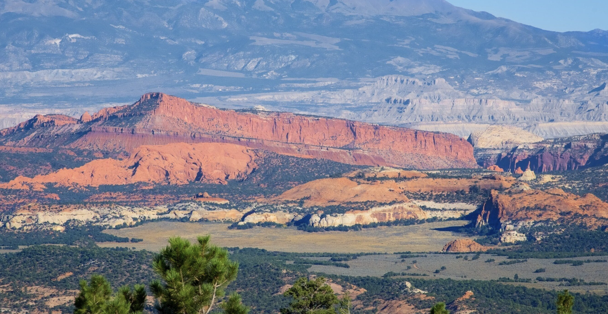
All guided tours
The hub. Every category, every operator, current published prices, and who actually answers the phone. Start here if you do not yet know what you want to book.
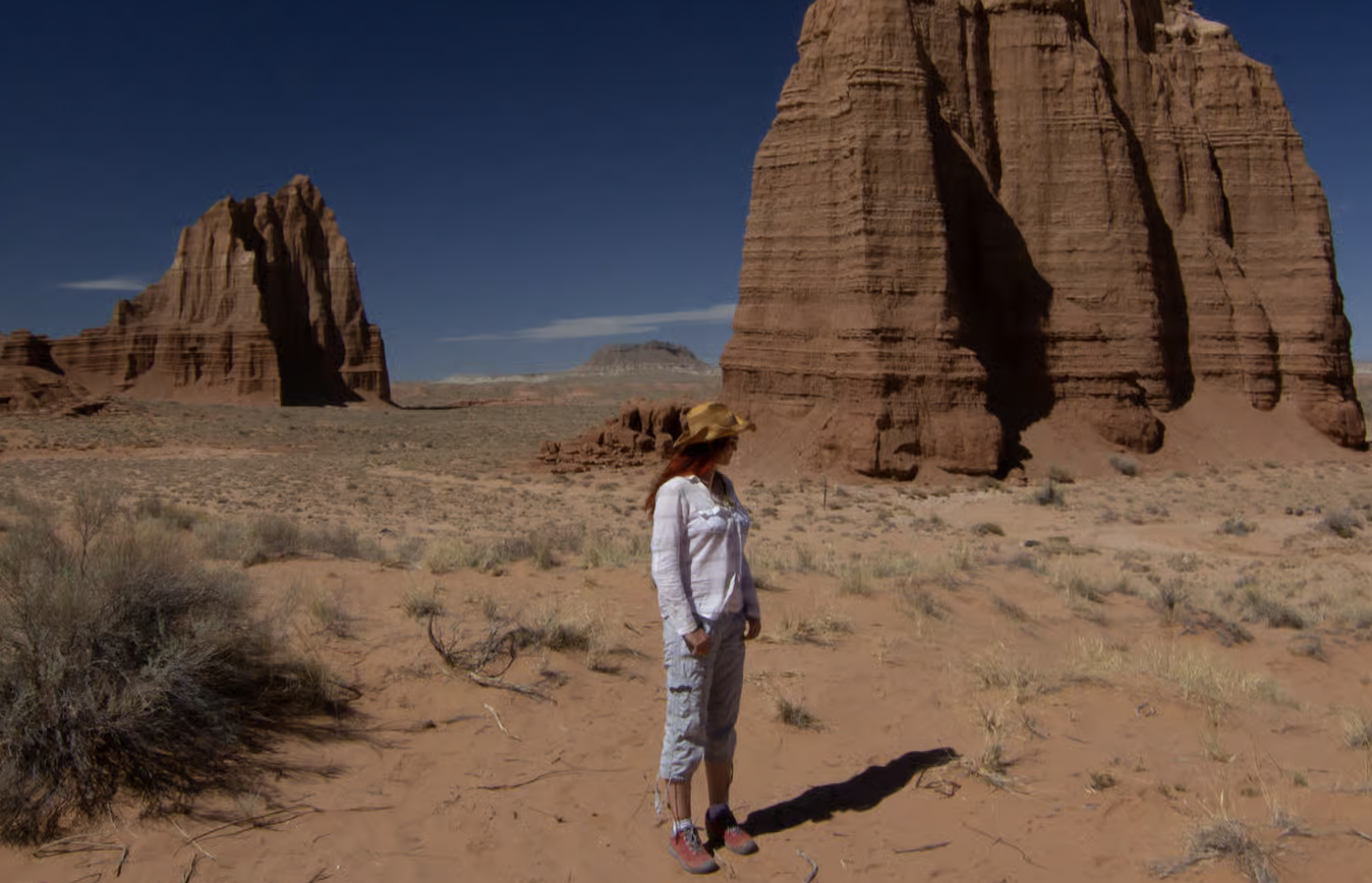
Cathedral Valley
The park's remote north, and the trip most people get wrong. The river ford is optional: the Cathedral Road from the east reaches the Temples with no crossing at all.
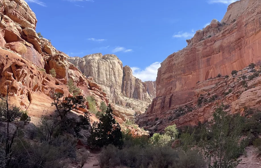
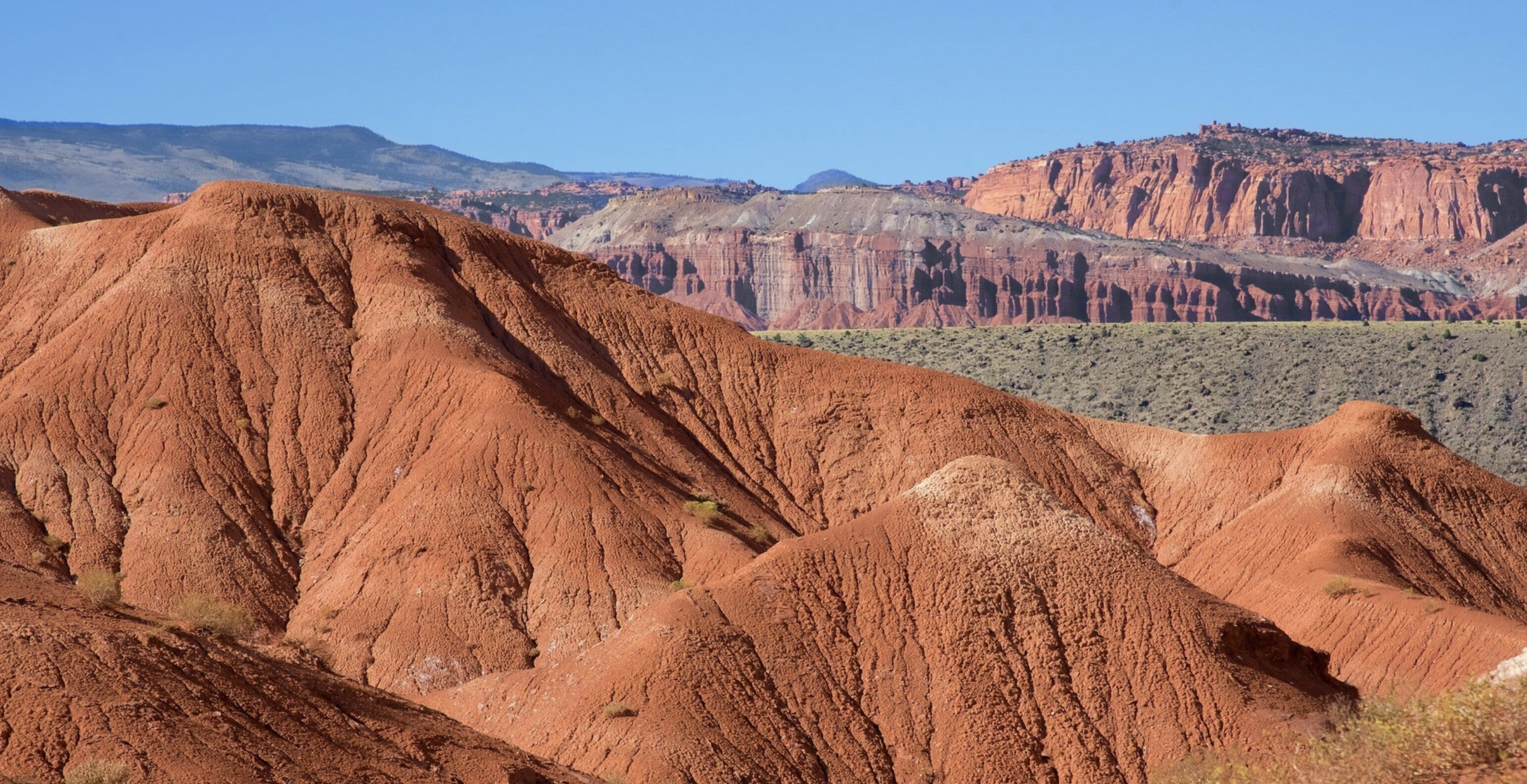
Canyoneering
The permit is free, so a guide sells skills rather than access. Several named routes close for part of every year, and the page lists which and when.
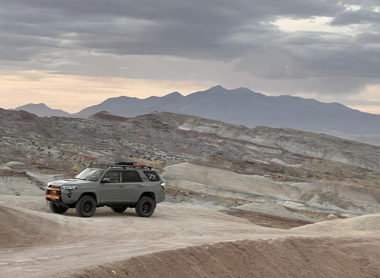
Jeep and backcountry
The park defines high clearance as eight inches and notes other agencies use nine or more. Most rental crossovers meet neither, which is the reason these trips sell.
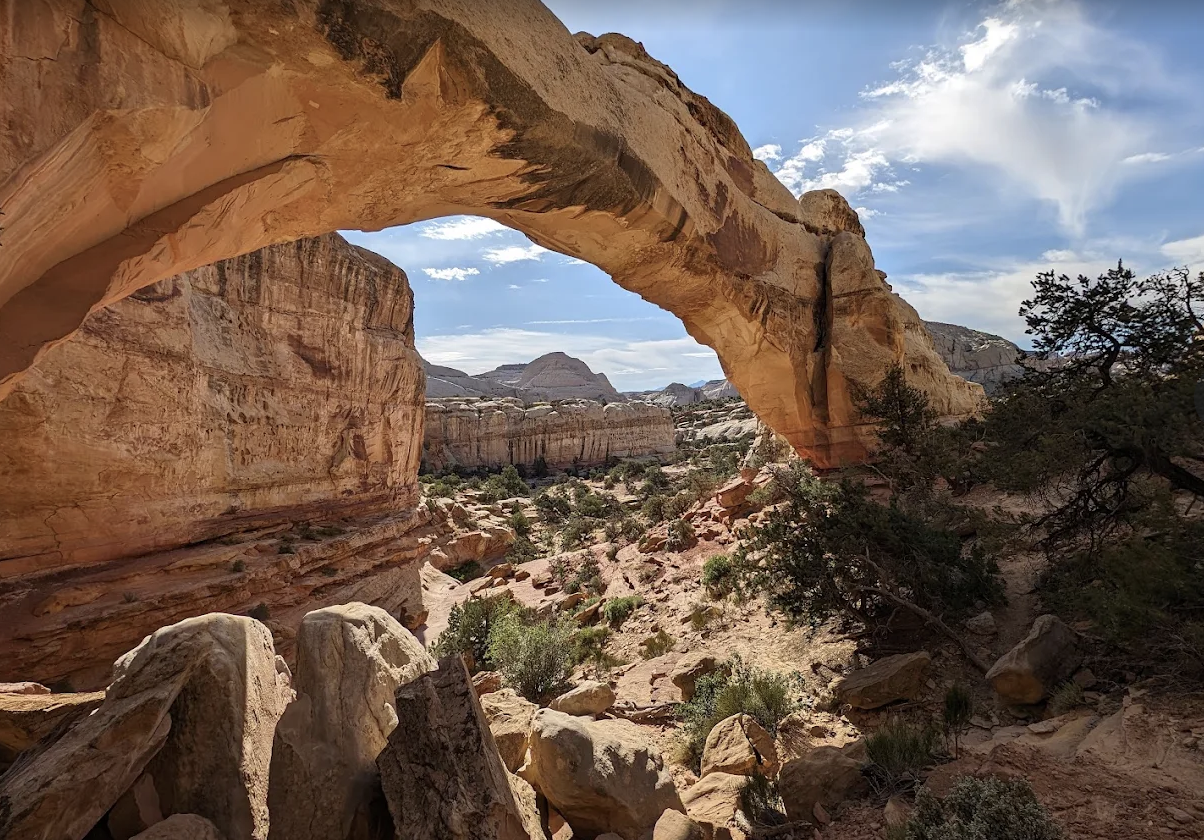
Guided hiking
Three of the best hikes here are point to point routes needing a car shuttle, published at $100. Real round trip distances beside the park's own one way figures.
Horseback riding
The park closes horses out of every front country trail with one clause, then names three backcountry routes. Two outfits sell the exact route the park suggests.
Stargazing
The park's own sky quality readings by location. Cathedral Valley Campground measured 22.74, more than eight tenths of a magnitude darker than anywhere else measured.
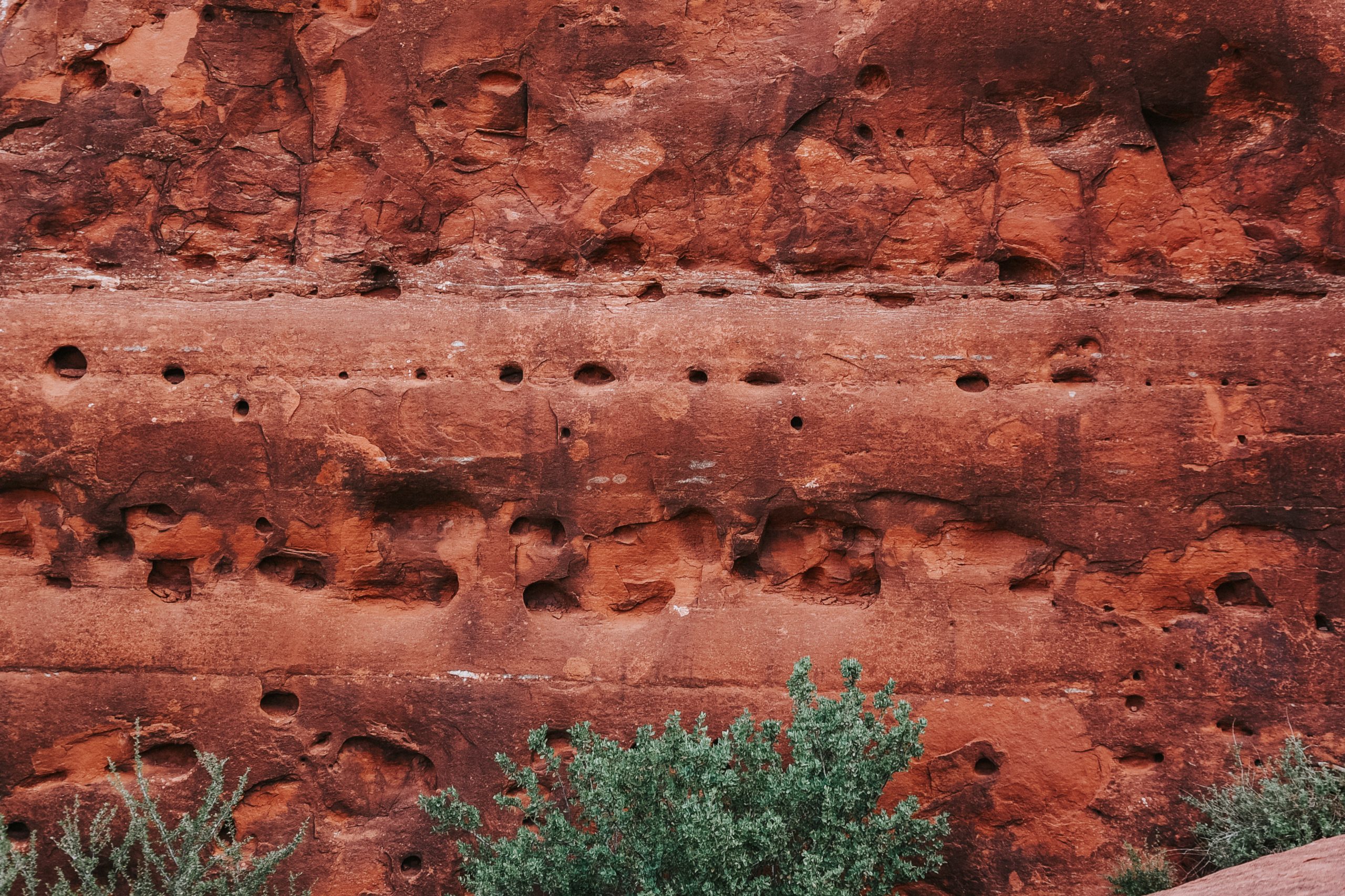
Photography
Since the EXPLORE Act, eight or fewer people with hand carried gear need no permit even commercially. That is separate from workshop authorization, and the page separates them.
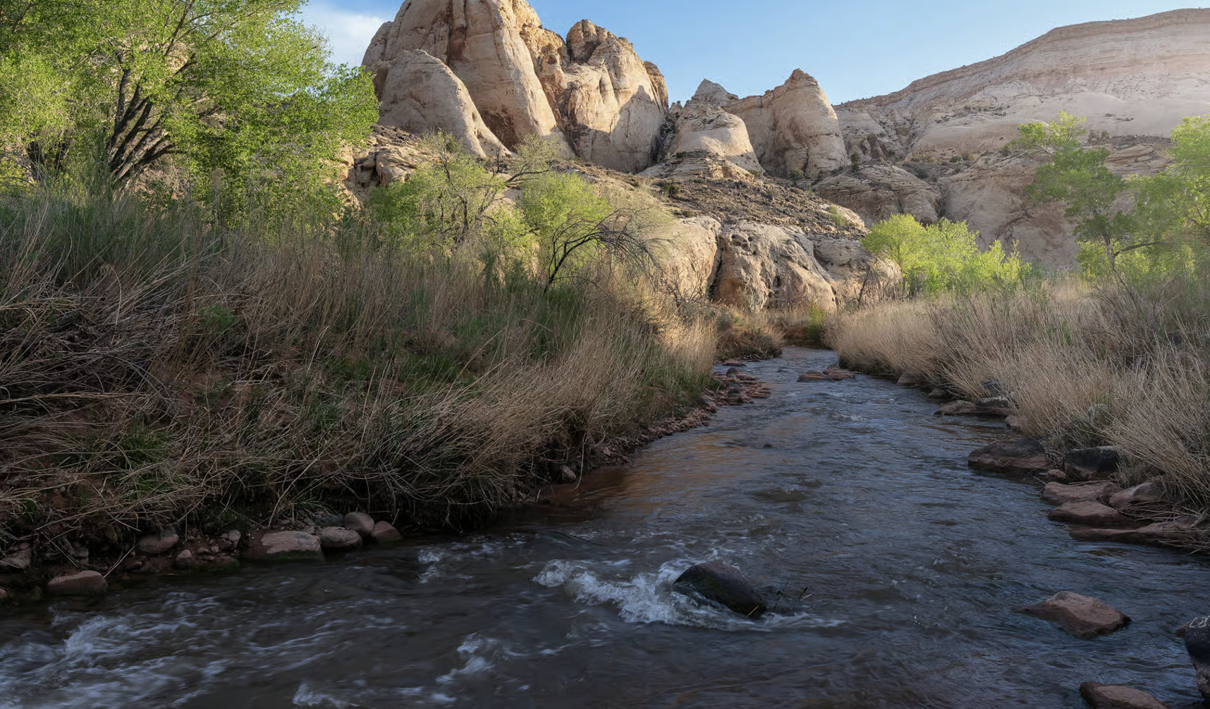
Fly fishing
The park says the Fremont through Fruita holds no sport fishery but the gorge above it holds browns, and that the river carries no special regulations at all.
UTV and ATV
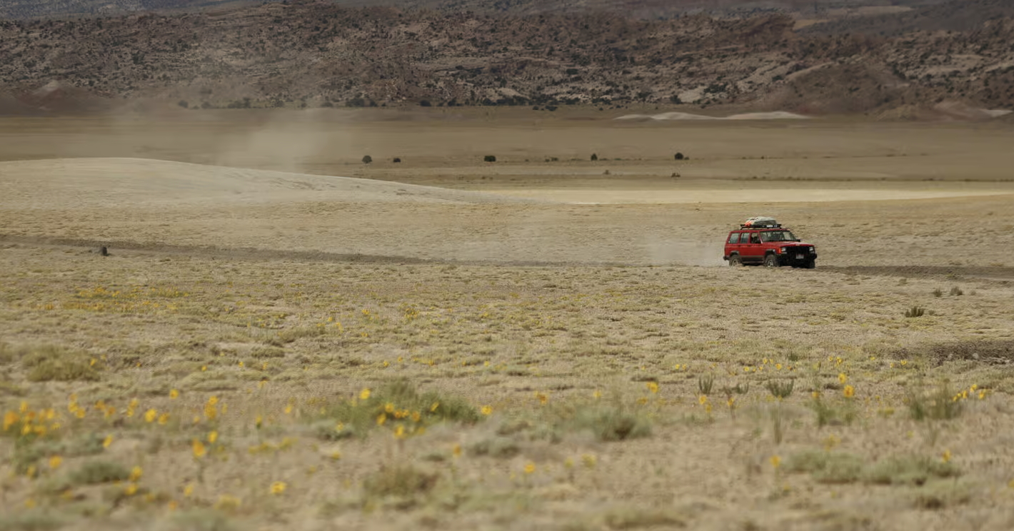
Off highway vehicles are banned on every road in the park, paved included, with only licensed motorcycles exempt. The riding is outside, 1.5 miles from town.
Goblin Valley
A state park that permits free roaming, drones by permit and an 89 foot rappel for $4, none of which is legal in the national park. A genuinely different day out.
Everything else
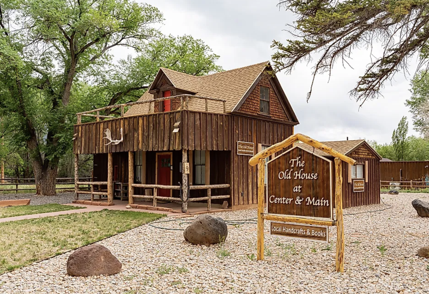
Two galleries, free disc golf, a Saturday market, a film festival in a 1947 theater, and a speaker series with a real published lineup most visitors never find.
Where to stay
Named properties, not a booking widget
Nobody publishes a Torrey room count, so we refuse to invent one. What the lodging pages do instead is name the individual properties, say what each one actually offers, and give the winter closure dates, which is the thing that ruins trips here.
Where to stay
The hub. Every property in and around Torrey by type, with what closes for winter and when.
Torrey hotels
A decision matrix rather than a listing. Which property suits which kind of traveler, and why.
Cabins and glamping
Four questions per unit that nobody else answers: bathroom, heat, power, bed. Every glamping unit here puts the bathroom in a separate building.
Camping
Fruita, the park's primitive campgrounds, the Forest Service options up the mountain, and the generator rule that applies to one loop only.
Not sure which town to base yourself in? The comparison page puts Torrey, Bicknell and Hanksville side by side on drive time, price and what is open at night. If you would rather be up in the cool air, Boulder Mountain has four Forest Service campgrounds and a guard station cabin at $30 a night.
Practical planning
The things that decide whether a trip works
Fees, permits, weather, roads and timing. This is the least glamorous part of the site and the part that saves people the most trouble.
Plan your trip
The hub, and a full inventory of what costs money here, which turns out to be mostly nothing.
Entrance fee
What the fee buys, which is one 7.9 mile road, plus the eight fee free days in 2026 and how to pay.
Permits
Every visitor permit is free and none are rationed. The constraint is seasonal closures, not availability.
Road conditions
Two official park pages give different vehicle guidance for the same road, and the website updates weekly while the phone line is current.
Best time to visit
The full thirty year climate table with a what it means column. July to September carry 3.16 of the park's 7.91 annual inches.
Getting here
Every published distance in this region is measured to the park, never to Torrey, and no official source publishes one from Las Vegas or Denver.
One day
Real round trip distances beside the park's own one way figures, so the itinerary does not silently double the walking.
With kids
The park names exactly one trail as kid friendly and rates none for children. The table separates its judgment from ours.
Scenic Byway 12
Four official sources publish four different lengths for the same road. All four are printed, with which one to use.
The town and the county
Torrey has 231 people and more going on than that suggests
Eleven miles from the visitor center, 6,837 feet up, with two art galleries, an arts institute running a real speaker series, and a lighting ordinance stricter than most cities have.
Torrey, Utah
The town in depth. What it has, what it does not, and what the dark sky ordinance actually requires of the people who live here.
Restaurants
An hours and season table with an honest "not published" column, because many places here publish nothing and several close for winter.
Dark sky community
Chapter 9-4 of the town code, quoted requirement by requirement. Full cutoff fixtures, 3000K cap, lights off by ten.
Things to do
The annual calendar with confirmed dates, plus what is open on an ordinary Tuesday when nothing is scheduled.
Boulder Mountain
Eleven thousand feet of forest and roughly eighty lakes, twenty minutes from the red rock. Gates locked 1 November to mid June.
The other towns
Nine places on the map and fewer than 2,500 people between them. Which one has the bank, the clinic and the fuel.
Why trust this over the other forty results
Primary sources only, conflicts printed, gaps stated
Three rules govern every page here, and they are the reason this site says things the others do not.
Nothing goes on a page unless a source states it. Not a plausible estimate, not a rounded guess. Agency documents, state records, the census and each business's own site. Never another travel blog.
Where two official sources disagree, both get printed. This has happened eleven times so far. The park publishes 23 feet and 27 feet for RVs on the same spur roads. Four agencies publish four lengths for Scenic Byway 12. Two sources give different stay limits for the same campground. Picking one silently is how a wrong number ends up on fifty websites.
Where a figure cannot be verified, the page says so. No official Torrey to Goblin Valley distance exists. No property in Bicknell or Hanksville publishes a room count. One glamping operator says nothing about whether its domes are heated, in a place that freezes. Each of those is an open question on the page rather than a number we made up.
We have also delinked a company for publishing a placeholder phone number, disclosed that two outfitters sharing a rate card are not two independent quotes, and told readers an advertised lodging brand was showing renders rather than rooms until it actually opened. None of that helps a commission. It is the job.
The about page sets out the whole method, the affiliate disclosure and the corrections policy, including the errors we have already found and fixed in our own work.
Start here
Pick the thing you are stuck on
Most people arrive with one specific worry. Whichever yours is, there is a page for it.
Or jump straight to road conditions, the entrance fee, the orchards or who writes this site.