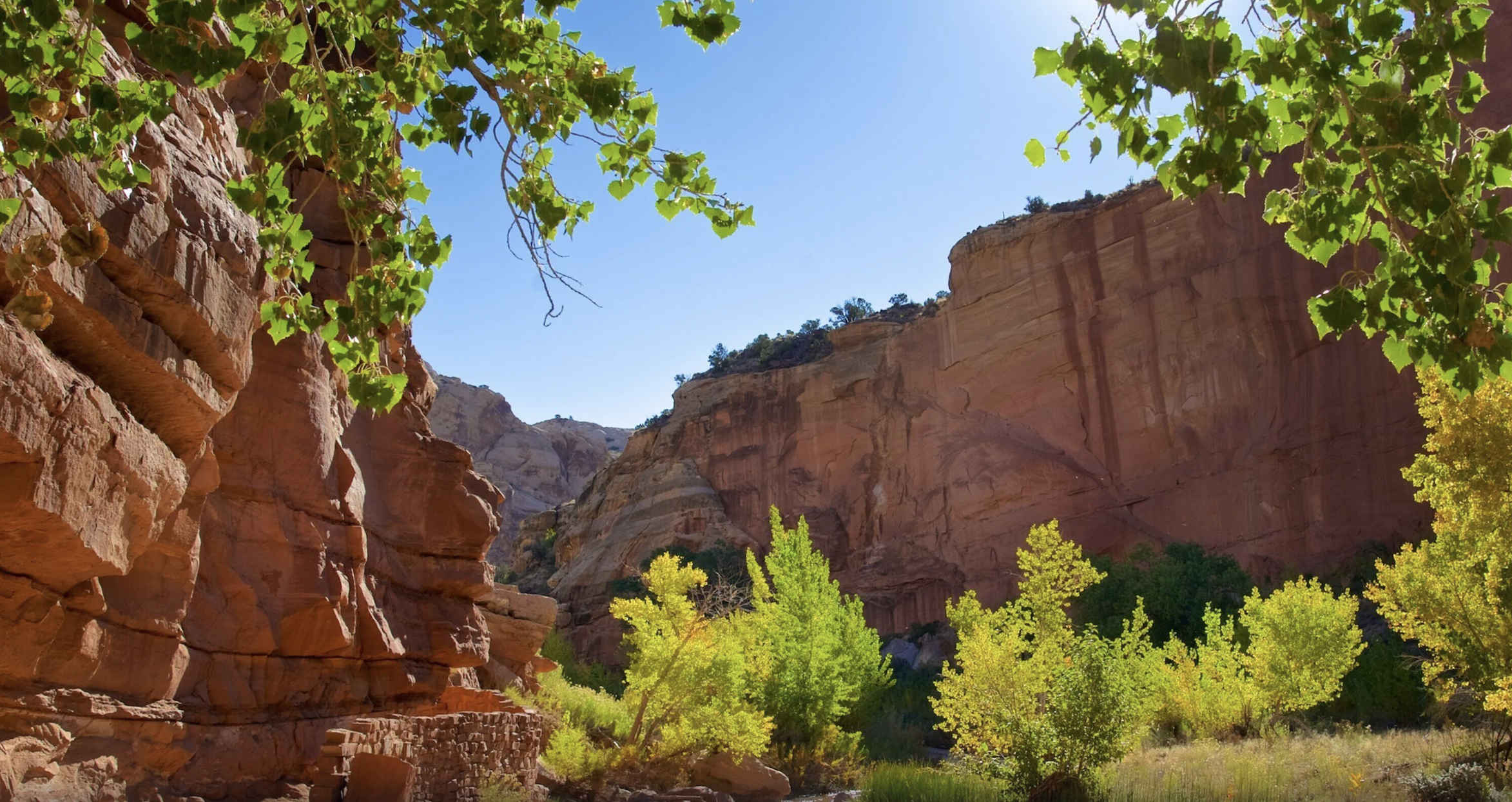
Torrey, Utah / Plan / When to visit
Weather, crowds and seasons
The Best Time to Visit Capitol Reef
The best time to visit Capitol Reef is late September into October, and you do not have to take our word for it. The Park Service publishes thirty years of monthly temperature and rainfall from the visitor center weather station, and the numbers make the case on their own. Here they are in full, with what each month is actually like.
If you only read this much
October, then May, then everything else
October has an average high of 66 and an average low of 43. The backroads are usually at their most reliable, the apple harvest is still running in the orchards, and the summer storm season has passed. May sits at 74 and 48 with the spring roads dried out. Those two months are why people say this park has a shoulder season worth planning around.
The Park Service is more inclusive than we are. It says March to June and September to October are popular times to visit, which is the same answer with wider edges.
Summer is not a mistake, it is a scheduling problem. July averages 91 and August 88, which is workable if you start at first light and stop by noon. What actually complicates summer is not the heat but the rain, because July, August and September are the three wettest months of the year here and it all arrives at once.
Winter is the quiet secret. The park never closes. What closes is half of Torrey, which is a different problem and a solvable one.
Dates decide more than usual at this park, because canyoneering routes close seasonally and several Torrey properties shut for winter. Settle the month before you book anything.
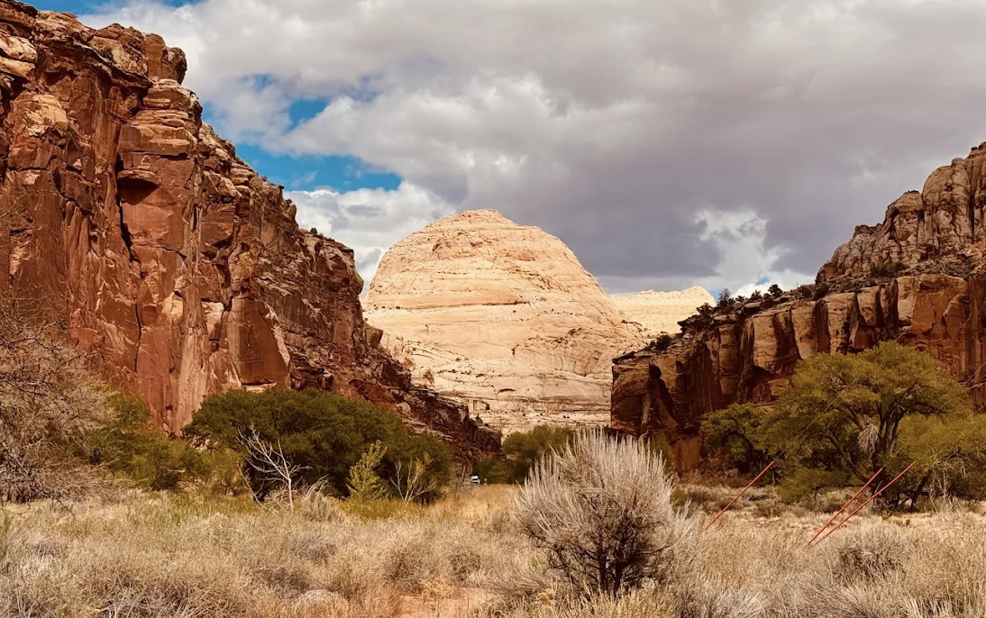
The actual numbers
Thirty years of weather, month by month
Recorded at the Capitol Reef visitor center. Averages are the 1991 to 2020 period of record, and the records themselves run from 1938. Every figure here is published by the Park Service, not modelled or averaged from elsewhere.
| Month | Avg high | Avg low | Record high and low | Rain | Snow | What it means |
|---|---|---|---|---|---|---|
| January | 41 | 20 | 69 and minus 9 | 0.52 in | 3.9 in | The snowiest month. Red rock under snow, and almost nobody out |
| February | 47 | 26 | 72 and minus 7 | 0.54 in | 1.9 in | Warming, still quiet. Trails on the shaded side can be icy |
| March | 58 | 34 | 80 and 10 | 0.48 in | 1.5 in | Businesses reopen. Apricot blossom starts in the orchards |
| April | 65 | 39 | 91 and 18 | 0.51 in | 0.5 in | Blossom month and drying backroads. One of the two best windows |
| May | 74 | 48 | 97 and 28 | 0.63 in | None | Close to perfect. Warm days, cool nights, roads generally good |
| June | 87 | 58 | 104 and 35 | 0.35 in | None | The driest month of the year, and hot by the middle of it |
| July | 91 | 65 | 104 and 44 | 1.05 in | None | Hottest and the monsoon opens. Early starts only |
| August | 88 | 63 | 102 and 42 | 1.14 in | None | The wettest month. Apples start. Watch every forecast |
| September | 80 | 55 | 99 and 30 | 0.97 in | None | Storms tail off through the month and it gets very good indeed |
| October | 66 | 43 | 91 and 12 | 0.85 in | None | The best month here. Apples, reliable roads, cold clear nights |
| November | 51 | 31 | 77 and 5 | 0.51 in | 1.5 in | The season winds down and town starts closing around you |
| December | 40 | 21 | 69 and minus 8 | 0.35 in | 2.9 in | Coldest, tied driest, emptiest. Bring layers and a plan for food |
How much these numbers move
The Park Service adds a footnote worth knowing: temperatures typically vary about ten degrees either side of the monthly average, except in July and August where the spread narrows to about five. So a 65 degree April day can just as easily be 55 or 75, and you should pack for both.
Why one table cannot cover this park
This station sits in Fruita. The park runs from 3,880 feet where Halls Creek leaves it to 8,960 feet in the Upper Deep Creek drainage, which is over five thousand feet of difference. The Park Service says only that weather can vary widely across the park and splits its own forecast into three districts.
In practice, assume the Waterpocket and Cathedral Valley districts are colder and more exposed than these numbers, and that Torrey, at about 6,800 feet, runs cooler than Fruita in summer.
The thing the averages hide
Three months carry most of the year's rain
July, August and September take 3.16 inches of the annual 7.91, which is forty percent of the year's rain in a quarter of it. The Park Service names the monsoon season as usually July to September.
What that actually means for a visitor
Not drizzle. The Park Service describes summer downpours that create dangerous flash floods as well as beautiful ephemeral waterfalls, and tells visitors to always check the forecast before hiking in canyons during monsoon season.
An inch of rain in an arid landscape with no soil to absorb it goes somewhere, and where it goes is the washes. Grand Wash and Capitol Gorge are two of the easiest walks in the park and both are drainage channels.
How to visit in monsoon season anyway
- Start at first light and be out of anything narrow by early afternoon.
- Check the forecast for the whole drainage, not the patch of sky above you.
- Keep a non canyon option in your pocket for every day, such as the Scenic Drive or a high overlook.
- Build one spare day into the trip if you have come for a specific canyon.
- Treat a cancelled guided trip as good judgment rather than bad luck. See the canyoneering guide.
The same storms are what make the backroads impassable, so monsoon timing matters as much for a Cathedral Valley day as for a canyon. Current grades are on the road conditions guide.
Four seasons, honestly
What you get, and what you give up
March to May
Spring
You get blossom in the orchards from early March, drying backroads, and temperatures climbing from 58 to 74.
You give up some certainty. Spring storms still close roads, and the canyoneering closures begin.
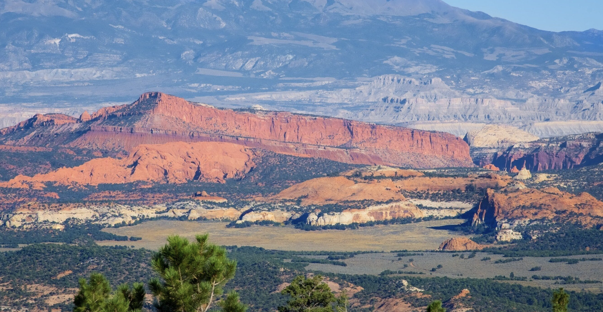
June to August
Summer
You get the fruit harvest from late June, long daylight, and every business in town open.
You give up the middle of the day, and you accept flash flood risk from July.
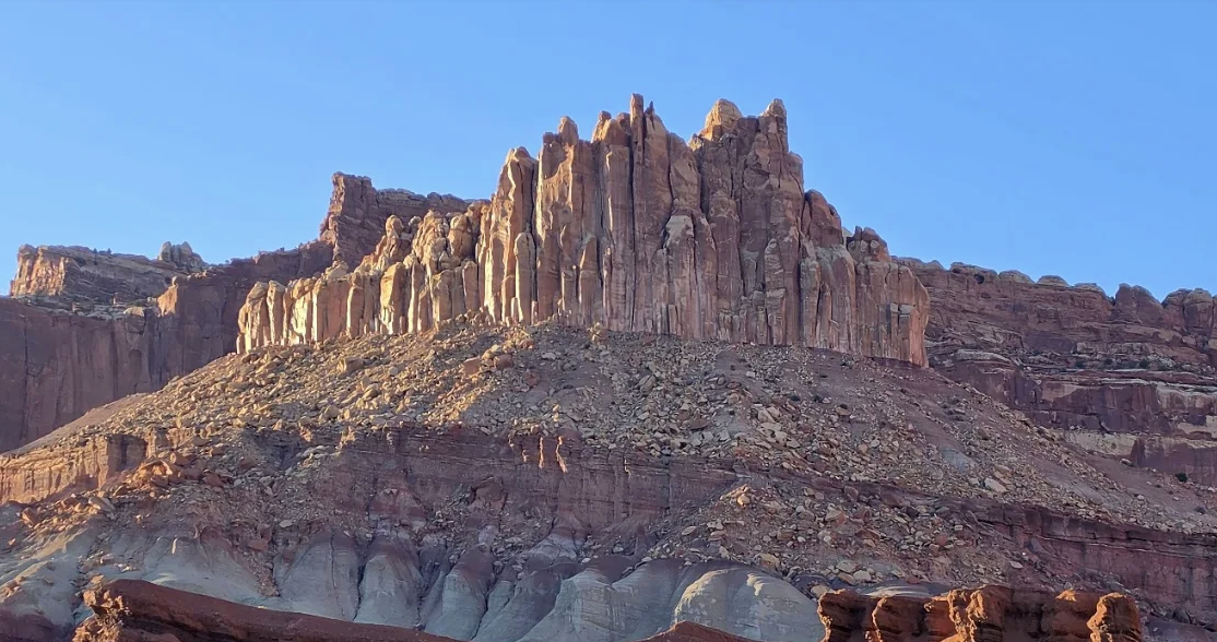
September to October
Autumn
You get the best of the year. Storms tail off, apples run to mid October, nights turn cold and clear.
You give up availability. This is when lodging goes first.
November to February
Winter
You get solitude, snow on red rock, and a park that never closes.
You give up services. Half of Torrey shuts, some backroads become impassable, and Loop C of the campground closes.
One winter route note. The Cathedral Valley loop connects to a mountain road that the Park Service says is normally open from mid June to late October and closed in winter, so a winter trip up there is not simply a matter of driving more carefully. Ring the road line on 435 425 3791, press #1 then #4.
The other half of timing
Crowds, and how to miss them
Capitol Reef is the quietest of Utah's five national parks, which does not mean it is quiet. The Park Service publishes specific advice for the busy season and it is worth following.
What the park itself says
- March to June and September to October are the popular times.
- Trailhead parking lots often fill by 10am.
- Fruita Campground is often completely booked from mid March to the end of October.
- Even the free primitive campgrounds can fill, especially at weekends.
What actually works
- Come midweek. The park recommends it outright and it makes more difference here than the month does.
- Walk before 9am or after 4pm, which also solves the heat in summer.
- If a trailhead is full, drive on and come back. Turnover here is fast.
- Go north or south. The Cathedral Valley and Waterpocket districts absorb almost nobody.
Since October is both the best month and the fullest, the order of operations is bed first. Where to stay covers what books early, and the camping guide covers the six month reservation window at Fruita.
Straight answers
Timing questions
What is the best month to visit Capitol Reef?
October. The average high is 66 and the low 43, the backroads are usually at their most reliable, apples run in the orchards to mid October and the storm season has passed. May is the close second at 74 and 48. The Park Service describes March to June and September to October as the popular times.
How hot does Capitol Reef get in summer?
The average July high at the visitor center is 91 and the record is 104. August averages 88. The Park Service notes July and August vary only about five degrees either side of the average, so those numbers are fairly dependable. Start early and carry a gallon of water per person per day.
When is the monsoon season at Capitol Reef?
Usually July to September, in the Park Service's own words. Those three months take 3.16 of the park's 7.91 inches of annual rain. The risk is flash flooding in narrow canyons and washes, driven by storms that can be miles away from where you are standing.
Is Capitol Reef worth visiting in winter?
Yes, if you plan around services rather than weather. The park and campgrounds stay open year round. January averages 41 and 20 with 3.9 inches of snow, which puts snow on red rock. What closes is much of Torrey, Loop C of the campground, and some backroads.
How much rain does Capitol Reef get?
7.91 inches a year, which the Park Service describes as an arid climate. August is the wettest month at 1.14 inches and June and December the driest at 0.35. The annual total is low enough that the rain matters for flash flooding rather than for spoiling a day.
When are the orchards ready to pick?
Apricots late June to mid July, peaches late July to early September, pears early August to early September and apples mid August to mid October. Which orchards are actually open changes week to week. See the orchard guide.
How do I avoid the crowds at Capitol Reef?
Come midweek, walk before 9am or after 4pm, and go north or south. Trailhead parking often fills by 10am but turnover is quick, so driving on and returning works. The Cathedral Valley and Waterpocket districts take almost no visitors at all.
Every temperature, precipitation and snowfall figure on this page is from the National Park Service Capitol Reef weather page, averages for 1991 to 2020 and records from 1938, recorded at the visitor center. Crowd guidance is from the park's busy season page. Checked September 2026.
Next step
Fix the month, then book the bed
Lodging is the constraint that bites here, and the best month is also the fullest. Once the dates are set everything else follows.
Also worth reading: the harvest calendar, the planning hub and the Torrey town guide. Or who writes this site.