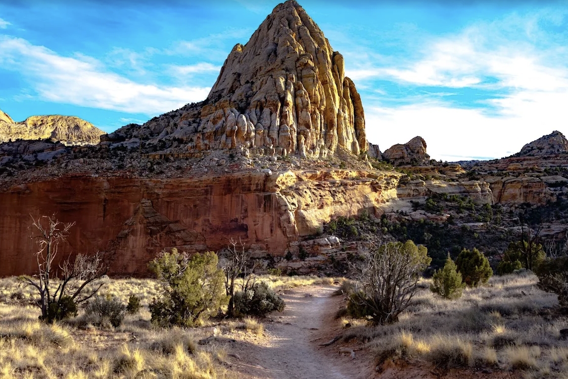
Torrey, Utah / Tours / Guided hiking
Trails, routes and shuttles
Capitol Reef Guided Hikes From Torrey, Utah
Most Capitol Reef guided hikes take you somewhere you could walk on your own, and there is nothing wrong with buying company and knowledge. But three of the best days here are not marked trails at all. They are routes, they need a car at each end, and that is where a guide stops being optional.
The honest version
Most of these you can walk alone
Capitol Reef has fifteen day hiking trails in the Fruita area, running from under a quarter mile to about ten. They are signed, they are on the park map, and the popular ones are busy enough that route finding is not a skill you need. Hickman Bridge, Cassidy Arch, Grand Wash and Capitol Gorge are all straightforward days out for anyone reasonably fit.
So a guided hike here is usually buying you three things: someone who knows which trail suits your group, geology and history you would otherwise walk past, and the confidence to be out in country that is genuinely remote. That is a fair trade, and for a nervous first time visitor it can be the difference between a good trip and a cautious one.
What changes the calculation entirely is the second category. Sulphur Creek, Spring Canyon and Lower Muley Twist are not trails. The Park Service calls them routes, says plainly that route finding and map reading skills are critical, and warns that unofficial cairns are not maintained and may not mark the way. Two of them involve wading. All three end somewhere other than where they start.
Not sure hiking is the right trip at all? Compare it against a backroad day and technical canyoneering on the tours hub.
The marked ones
Every Fruita area trail, and whether a guide adds anything
Distances here are the Park Service's own, and they are one way except on the two loops. That matters, because most other sites quote round trip without saying so, and a 4.7 mile trail that is really 9.4 is a different afternoon.
| Trail | Distance | Elevation change | NPS difficulty | Worth a guide |
|---|---|---|---|---|
| Goosenecks | 0.1 mi one way | Under 50 ft | Easy | No. It is a viewpoint |
| Sunset Point | 0.4 mi one way | Under 50 ft | Easy | No, and go at the hour the name suggests |
| Capitol Gorge | 1.0 mi one way | 80 ft | Easy | Only for the history. Pioneer inscriptions and a short climb to the waterpockets |
| Grand Wash | 2.2 mi one way | 200 ft | Easy | No, but never enter it with rain about. It is a wash |
| Hickman Bridge | 0.9 mi one way | 400 ft | Moderate | No. The busiest trail in the park and the easiest to follow |
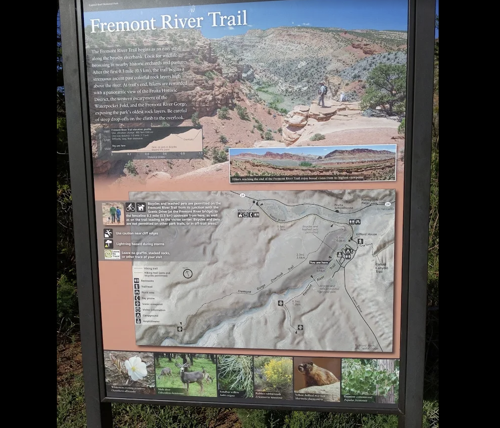
| Fremont River | 1.0 mi one way | 480 ft | Moderate | No. Flat along the river and orchards, then steep |
| Cohab Canyon | 1.7 mi one way | 440 ft | Moderate | Only if you want it linked with Frying Pan into a one way day |
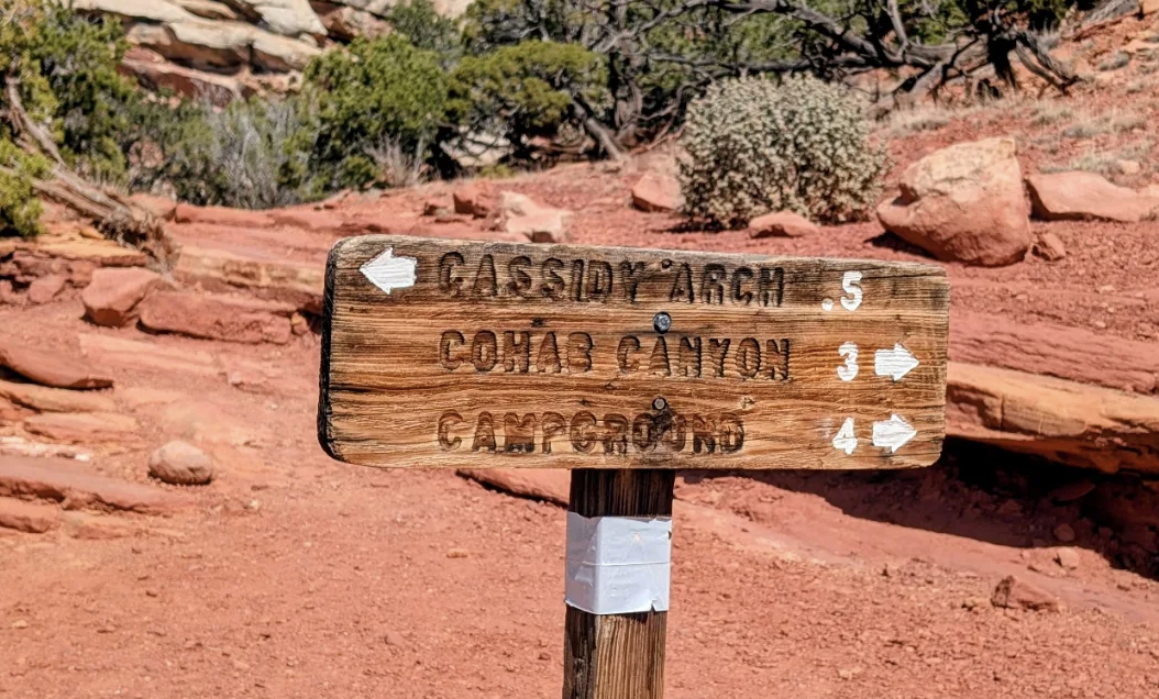
| Cassidy Arch | 1.7 mi one way | 670 ft | Strenuous | No for the hike. Yes if you want the technical canyon that starts where the trail ends |
| Chimney Rock Loop | 3.6 mi loop | 590 ft | Strenuous | No, and it is another good sunset choice |
| Golden Throne | 2.0 mi one way | 730 ft | Strenuous | No |
| Frying Pan | 2.9 mi one way | 810 ft | Strenuous | Worth it as the connector in a shuttled traverse |
| Old Wagon Trail Loop | 3.8 mi loop | 1,080 ft | Strenuous | No, and it is the quietest of the strenuous set |
| Fremont Gorge Overlook | 2.3 mi one way | 1,090 ft | Strenuous | No |
| Rim Overlook | 2.3 mi one way | 1,110 ft | Strenuous | No |
| Navajo Knobs | 4.7 mi one way | 1,620 ft | Strenuous | Only for pacing and water discipline. It is 9.4 miles there and back |
One thing the ratings hide
These trails climb to about 6,900 feet, which the Park Service notes makes even the easy ones harder than the numbers suggest. If you have come from sea level that morning, take the first day gently and drink more than you think you need.
And one thing they do not say
The Park Service states that trail surfaces vary and none are paved, and it does not rate any trail as suitable for small children. For genuinely flat and accessible walking, see the section further down.
Where a guide earns the money
The three that are not trails
The Park Service is unusually direct about these. They are routes, not maintained trails. Route finding, navigation and map reading skills are critical, and the cairns are not maintained by the Park Service and may not mark the way.
| Route | Distance | What makes it hard | Shuttle needed |
|---|---|---|---|
| Sulphur Creek | 5.8 mi one way | Almost constant walking in shallow water, and the Park Service warns it is not uncommon to find water deep enough to need swimming. Three waterfalls, the first a ten foot downclimb, and bypassing them means scrambling down twelve foot ledges. Do not drink the water | Yes, between the Highway 24 trailhead and the visitor center. Published at $100 |
| Spring Canyon | 9.7 mi one way lower, 18.7 upper | Unmaintained route with a bypass section the Park Service describes as severely exposed. The lower end fords the Fremont River, usually thigh deep and difficult, with no bridge | Yes. Published at $100 |
| Lower Muley Twist | 10.7 to 22.8 mi depending on the loop | Steep slickrock with loose footing and exposure, including a particularly exposed hundred foot section. Water sources unreliable | Yes, between the Burr Trail Road trailhead and The Post. No operator publishes a rate for this one |
The shuttle is the whole problem, and it is solvable
Two vehicles and a group willing to split up solves it for free. One vehicle does not. Western Whiptail Adventures out of Teasdale publishes hiker shuttle rates, and they are the most useful numbers on this page: $100 for Sulphur Creek, $100 for Spring Canyon, $100 to link Cohab or Frying Pan to the Cassidy Arch and Grand Wash trailhead, and $75 from the visitor center back to Torrey.
That last one turns several of the marked trails above into one way walks, which is a better day than an out and back and almost nobody does it.
Upper Muley Twist, and the road to it
Upper Muley Twist is a loop rather than a shuttle, but it has its own catch. Passenger cars can drive only 0.3 miles in from the trailhead. Reaching the Strike Valley Overlook parking 2.9 miles in needs high clearance four wheel drive, which turns a moderate day into a long one if you are in the wrong vehicle.
Vehicle requirements for every road out there are on the backroad guide.
Who guides, and for how much
Every guided hiking option compared
Prices as published in September 2026. Read the pricing model column before the price column, because a $90 half day and a $350 half day are not what they look like.
| Operator and phone | Published price | Priced by | What they run |
|---|---|---|---|
| Backcountry Outfitters435 425 2010 | $90 half day, $135 full day. Full day includes lunch | Per person, and a two person minimum may apply | Hikes to waterfalls and rock art inside the park. Trail names not published |
| Waterpocket Adventure Company801 400 7558 | 1 to 5 hours: $350 for one to four guests, $450 for five or six. 5 to 8 hours: $550 and $650 | Per trip, so a family of four pays what a solo walker pays | The clearest trail menu of anyone. Grand Wash, Capitol Gorge and Pleasant Creek as easy; Hickman Bridge, Cassidy Arch, Cohab Canyon and Sulphur Creek as moderate; Upper Muley Twist, Rim Overlook, Navajo Knobs and Spring Canyon as difficult |
| Capitol Reef Adventure Company435 491 0451 | $300 for the first person, then about $50 for each extra | First person plus extras, private only | Guide chosen routes away from the busy trails rather than a named menu |
| Capitol Reef Outfitters435 425 3999 | Not published | Ask | Four named trips, and notably they are the three shuttle routes plus one: Sulphur Creek Narrows, Chimney and Spring Canyon, Upper Muley Twist, Pleasant Creek Canyon. Lunch on full days |
| Meridian Tours435 491 0150 | Leprechaun Slot Canyon $320 per passenger including tax, two minimum. Meeks Mesa not published | Per person | A three quarter day Meeks Mesa hike and a slot canyon day, plus shuttles for hike through itineraries |
| Get in the Wild Adventures818 381 9453 | Half day from $169 per person, with a $338 minimum for a solo walker | Per person with a day rate floor | Four hour trips, groups of two to ten, across a wide area from the park out to Robbers Roost and the San Rafael Swell |
| Western Whiptail Adventures801 946 6879 | Shuttles $75 to $250 by destination. Guided hiking not published | Per shuttle | The shuttle answer for the one way routes, and the reason several of these hikes are practical at all |
1
Walking alone
A solo walker pays $90 with Backcountry Outfitters and $350 with Waterpocket for a comparable half day, because one prices per head and the other per trip. Same country, same hours.
4
A family of four
Four people flips it. Backcountry Outfitters becomes $360, Waterpocket stays $350, and Capitol Reef Adventure Company lands near $450. Always ask which model before comparing numbers.
One company worth knowing about but not for the park itself. Wilderness Ridge Trail Llamas runs pack llama day hikes and overnights, and says plainly on its own site that no trips are offered inside the Capitol Reef boundary. They operate on Fishlake National Forest ground as an authorized Forest Service permittee, which is legitimate and good country, just not the national park.
The two that actually hurt people
Water and weather
Flash flooding
The Park Service warns that summer thunderstorms move in quickly and drop large amounts of rain in a short period, and says not to enter a narrow gorge or slot canyon if storms are threatening. It also notes that deadly flash flood waters can travel from many miles away, with travel times of ten hours or more.
Read that second sentence twice. Blue sky above you is not information. Grand Wash and Capitol Gorge are both washes, and both are easy trails, which is exactly why people are in them at the wrong moment.
Heat and water
The official figure is one gallon of water per person per day, and the Park Service tells visitors to always carry water because even the shortest stroll will make you thirsty on a hundred degree day. Temperatures can reach the high nineties as early as May.
There is no water on any trail. Fill up at the visitor center, the picnic area or the campground, start early or late, and treat backcountry water sources as unreliable even where a map shows one.
The flat and accessible options
The Fremont Culture petroglyph panel on Highway 24 is reached by boardwalk and is accessible. So is a portion of the Fremont River Trail near the Gifford House and the campground, along with the visitor center, the Fruita Schoolhouse and the Merin Smith Implement Shed. Four campsites at Fruita are fully wheelchair accessible.
The Park Service does note that ranger led hikes are generally not accessible because of the terrain.
Two rules people miss
Pets are not allowed on trails or in the backcountry, only on roads, in campgrounds and on the short connection between the visitor center and the campground.
And the Park Service asks visitors not to build new cairns, because unofficial ones are exactly what makes the route hikes dangerous for the next party.
Straight answers
Guided hiking questions
Do I need a guide to hike in Capitol Reef?
Not for the marked trails. The fifteen Fruita area day trails are signed and easy to follow. A guide earns its money on the routes that are not trails, principally Sulphur Creek, Spring Canyon and Lower Muley Twist, where the Park Service says route finding and map reading skills are critical.
What is the best hike in Capitol Reef?
Hickman Bridge for a first visit, at 0.9 miles one way to a 133 foot natural bridge. Cassidy Arch if you want the strenuous version. Sulphur Creek if you are equipped for a wet route hike with three waterfalls and can arrange a shuttle.
Do I need a car shuttle, and what does it cost?
For Sulphur Creek, Spring Canyon and Lower Muley Twist, yes, because each ends somewhere other than where it starts. Western Whiptail publishes $100 for the Sulphur Creek and Spring Canyon shuttles and $75 from the visitor center to Torrey. Nobody publishes a rate for The Post trailhead on Lower Muley Twist.
How much does a guided hike in Capitol Reef cost?
From $90 per person for a half day up to $650 for a long day with a per trip operator. The spread is about pricing model rather than quality, so ask whether the price is per person or per trip before comparing.
How much water should I carry?
One gallon per person per day is the Park Service figure. There is no water on any trail, and backcountry sources are unreliable. Fill up at the visitor center, the picnic area or Fruita Campground before you set off.
Are any Capitol Reef trails wheelchair accessible?
The petroglyph panel boardwalk on Highway 24 is accessible, as is a portion of the Fremont River Trail near the Gifford House and campground. The visitor center, the Fruita Schoolhouse and the Merin Smith Implement Shed are accessible, and four Fruita campsites are fully wheelchair accessible.
Can I take my dog hiking here?
No. Pets are not allowed on trails or in the backcountry at Capitol Reef. Roads, campgrounds and the short link between the visitor center and the campground are the exceptions.
Trail distances, difficulty ratings, route warnings, water guidance and accessibility details on this page come from the National Park Service pages for the Capitol Reef trail guide and hiking, checked September 2026. Distances are one way unless the trail is a loop. Prices come from each operator's own website.
Next step
Pick the walk, then sort the logistics
If it is a marked trail, you need water and an early start. If it is a route, you need a shuttle and honest skills, or somebody who has both.
Also useful: hiking with children, one day here and the planning hub. Or read who writes this site.