Torrey, Utah / Plan / Road conditions
Before you leave the pavement
Capitol Reef Road Conditions
Capitol Reef road conditions change faster than any website updates them, and the Park Service says so itself. There is one phone number that carries the current answer, three codes worth learning, and one road where two official park pages give different advice. All three of those are on this page.
Do this first
Call the road line, not the website
The Park Service is unusually candid about this. Road conditions on its website are updated weekly, and it states plainly that the park road condition phone line has the most up to date information. So the answer to what any unpaved road is doing today comes from 435 425 3791, press #1 for information then #4 for road conditions.
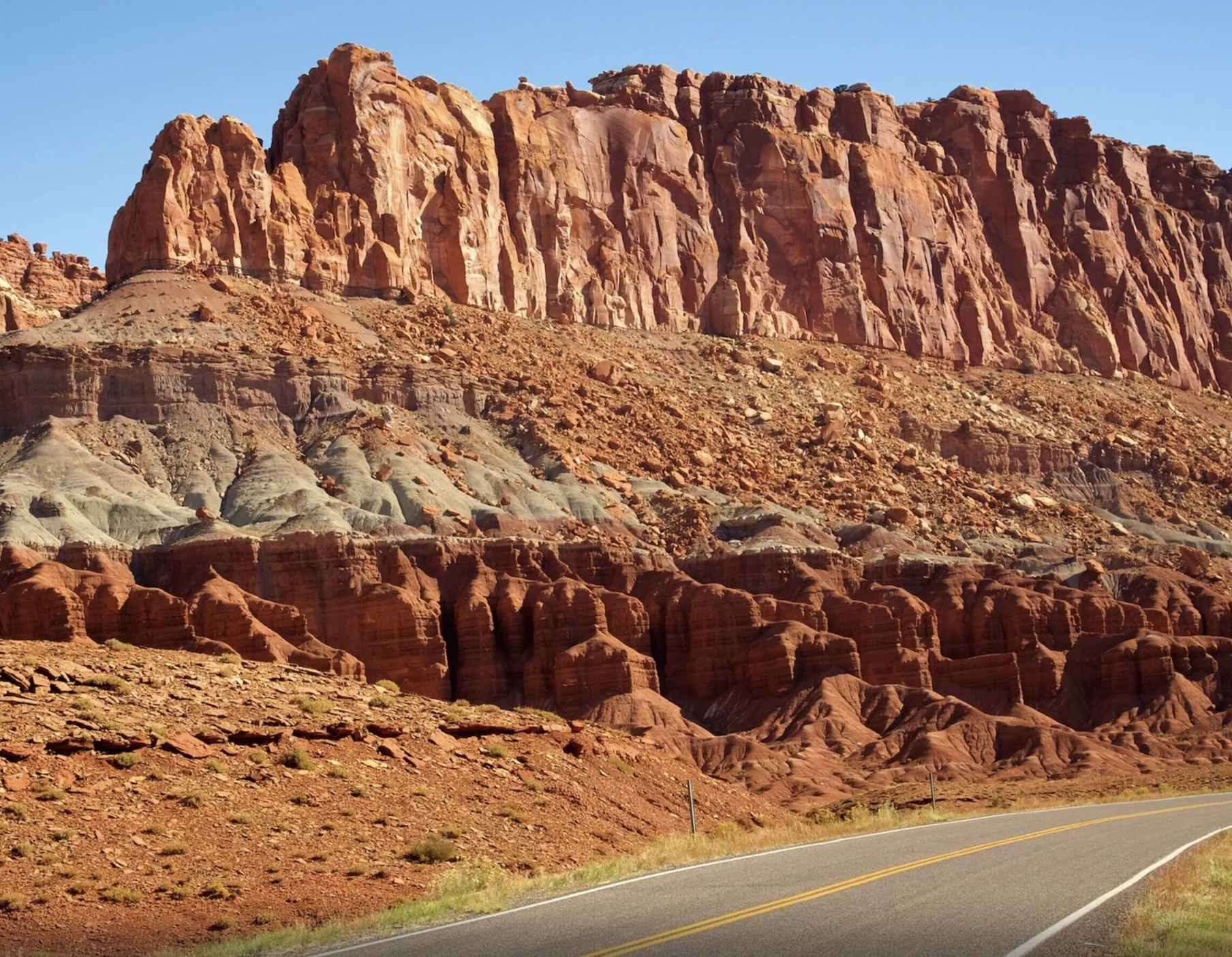
That matters because a single storm changes the answer. These roads are unimproved clay and gravel across a landscape with almost no soil to absorb water, and 7.91 inches of rain a year arrives mostly in summer downpours. A road that was graded and fine on Tuesday can be impassable on Wednesday and fine again by Friday.
Two more things the park says that are worth taking at face value. GPS is unreliable here and it recommends carrying a paper map. And it marks one road, South Draw, as not recommended, which is unusual language from a land manager and not an invitation to test it.
If you are choosing a vehicle rather than checking today's conditions, the backroad and rental guide covers what each route needs and what a guided seat costs instead.
Three letters that decide your day
What the park's vehicle codes actually mean
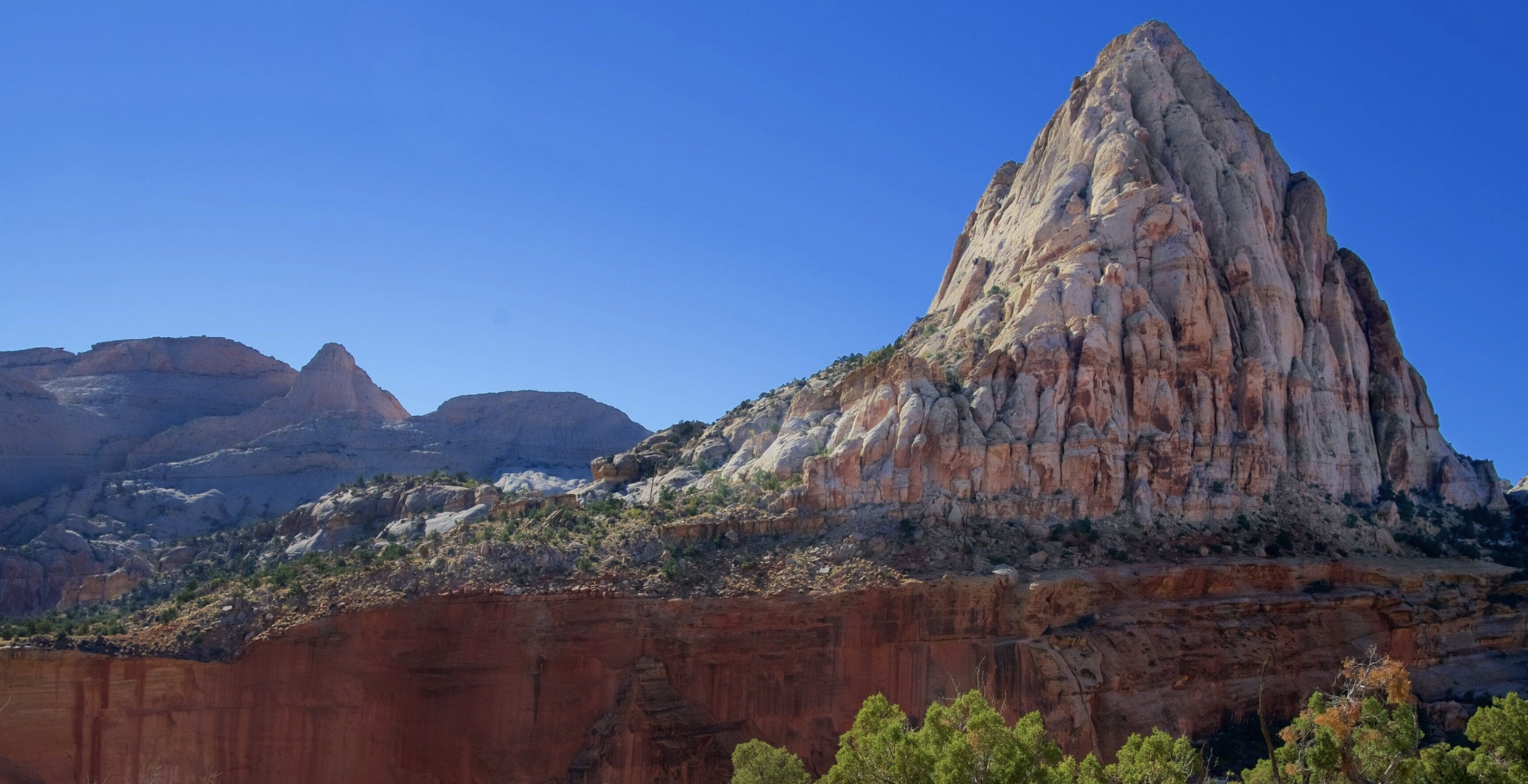
The park marks every road with one of three codes. They appear on its road pages and on the phone line without explanation, and most visitors have never seen them before.
| Code | The park's wording | In practice |
|---|---|---|
| 2WD | Two wheel drive. Accessible to standard vehicles | Your rental sedan is fine, and so is an RV within the stated length limits |
| HC2WD | High clearance two wheel drive | You need the ground clearance but not the drivetrain. This is where most crossovers fall short |
| HC4WD | High clearance four wheel drive | Both. A rental crossover is not this vehicle no matter what the counter told you |
What high clearance means here, in inches
The park sets its own floor at eight inches of ground clearance, and notes in the same breath that many outside agencies define high clearance as nine inches or more. It is worth pausing on a land manager publishing both numbers, because it is effectively telling you its own threshold is the generous one.
Look your vehicle up by model before you commit. Plenty of things sold as SUVs sit at seven inches or less.
Why a code is a starting point
A grade describes the road when it is behaving. After rain, snowmelt or a freeze thaw cycle, a road graded HC2WD can want four wheel drive, and a road graded HC4WD can be closed outright.
Weather is the variable the code cannot carry, which is the entire reason the phone line exists.
District one
Fruita, the part almost anyone can drive
The park reports conditions by three districts, and this is the one holding the visitor center, the campground and everything most visitors see. It is also the only district with pavement.
| Road | Length | Surface | Vehicle | Notes |
|---|---|---|---|---|
| Highway 24 through the park | Runs across the park | Paved state highway | 2WD | No entrance gate and no fee. Maintained by the state, not the park |
| Scenic Drive | 7.9 miles | Paved | 2WD | The one road with an entrance fee. Not a loop, so you return the way you came |
| Grand Wash Road | Short spur off the Scenic Drive | Dirt | 2WD | Passenger vehicles and RVs, weather permitting, though the park gives two different length limits. See the note below the table. It is a wash, so leave it when storms threaten |
| Capitol Gorge Road | Short spur off the Scenic Drive | Dirt | 2WD | Same limits and the same wash caution. Dead ends at the trailhead |
| Pleasant Creek Road | Continues past the end of the Scenic Drive | Unpaved | Check the line | The park does not publish a fixed grade for it on its roads page |
| South Draw Road | 5 miles to the boundary, 5.7 beyond | Non maintained | HC4WD | The park says outright it is not recommended. Impassable in bad weather, and the Boulder Mountain end can close in winter for snow |
The RV limit on the two dirt spurs is the park's second contradiction. Its roads page says the spurs are accessible to passenger vehicles and RVs up to 23 feet. Its Scenic Drive page says they are usually suitable for passenger cars and RVs up to 27 feet. Its busy season page then says the Grand Wash and Capitol Gorge lots cannot accommodate vehicles longer than 23 feet. Even if 27 feet drives the road, the parking at the end of it will not take you, and a spur canyon is a bad place to learn you cannot turn around. Plan for 23.
One dated closure worth knowing if you are here this month. The Scenic Drive is closed to vehicles on 19 and 26 September 2026, from sunrise to mid afternoon, for Reef Ride Bike Days. The rest of the park is unaffected.
District two
Cathedral Valley, and where the park contradicts itself
This is the district worth the most care, partly because of the river ford and partly because two different Park Service pages give two different answers about what vehicle you need.
| Road | Length | Starts | Notes |
|---|---|---|---|
| Hartnet Road | 27.8 miles to Hartnet Junction | 11.7 miles east of the visitor center on Highway 24 | Unimproved, and it opens with the Fremont River ford. No bridge, hard packed rocky bottom, water normally a foot or less deep |
| Cathedral Road | 29.9 miles back to Highway 24 | 18.5 miles east of the visitor center | Unimproved, no river crossing. The park puts Temple of the Moon 17.1 miles up it |
| The full loop | 57.6 miles | Either end | The Park Service estimates 6 to 8 hours. Detail on the Cathedral Valley page |
The contradiction, stated plainly
The park's Cathedral Valley page says vehicles with high clearance, even those without four wheel drive, can usually negotiate the roads. Its primitive campgrounds page, describing the campground out in the same district, says high clearance four wheel drive is usually necessary.
Both are official. Neither is wrong exactly, since one describes the road and one describes getting to a campsite in the middle of it. But if you are planning around them, take the stricter one and call the line. Nobody was ever stranded by being over prepared.
The ford, which is the real question
There is no bridge. Normal depth is a foot or less over a hard packed rocky bottom, and after storms or during runoff it can be impassable. The official advice is not to drive flooded roads but to wait for the water to drop.
And the ford is optional. Entering from the east on the Cathedral Road reaches the Temples with no crossing at all, which is the single most useful thing on this page for anyone in a marginal vehicle.
District three
Waterpocket, the long southern run
The least visited district and the longest driving. These roads are largely maintained rather than unimproved, which makes them more forgiving than Cathedral Valley, right up until weather turns.
| Road | Surface | Vehicle | Notes |
|---|---|---|---|
| Notom Bullfrog Road | Paved for the first 15 miles, then maintained dirt | Weather dependent | The park publishes no fixed grade and says it is subject to changes in weather conditions |
| Burr Trail Road, inside the park | Graded dirt for its 8.5 miles inside the boundary, paved from Boulder to the west boundary | Weather dependent | The switchbacks climb 800 feet in half a mile and the park says they are not suitable for RVs or anything towing |
| Strike Valley Overlook Road | Sandy and rock strewn | High clearance | The park states high clearance is required to drive it. Passenger cars stop well short and walk further |
Distances out here are the real constraint rather than the surface. Getting to the far south of this district and back is a full day from Torrey with no fuel, no water and no cell service along the way.
What to expect when
The seasonal pattern
The park and its campgrounds stay open year round, and the park notes that some roads could be closed due to snow or other inclement weather. Here is roughly how the year runs.
| Period | Typical condition | The hazard |
|---|---|---|
| March to May | Drying out through April as runoff drops | Mud after storms, and a higher ford in early spring |
| June | Usually the firmest and driest of the year, at 0.35 inches of rain | Heat and dust rather than water |
| July to September | Good between storms, washed out quickly after them | Monsoon. These are the three wettest months and the flash flood window |
| October | Usually the most reliable stretch of the whole year | Little, which is why it is the month to plan a backroad day |
| November to February | Snow, ice and freeze thaw, with clay holding water | Some roads impassable. The mountain road linking to Cathedral Valley is normally open only mid June to late October and closed in winter |
What to carry on any unpaved day
- A full tank. The nearest fuel is Torrey or Hanksville.
- More water than the walk needs, because the walk is not the risk.
- A real spare, a working jack and the knowledge to use both.
- Offline maps downloaded before you lose signal at the boundary.
And the one rule
Do not drive a flooded road. The official advice is to wait until floodwaters subside, and out here the wait is measured in hours rather than days. The Park Service also warns that help may not arrive for hours or even days in the remote districts, which is the reason the advice is worded that firmly.
Straight answers
Road questions
What is the Capitol Reef road conditions phone number?
435 425 3791. Press #1 for information, then #4 for road conditions. The Park Service states that this line has the most up to date information, because the website updates only weekly.
What does high clearance mean at Capitol Reef?
The park defines it as eight inches of ground clearance minimum, and notes that many outside agencies use nine inches or more. Check your vehicle by model, because plenty of crossovers marketed as SUVs sit below both figures.
Do I need four wheel drive at Capitol Reef?
Not for the Scenic Drive or its dirt spurs. For Cathedral Valley the park's own guidance differs between two of its pages, one saying high clearance without four wheel drive can usually manage and another saying high clearance four wheel drive is usually necessary. Plan for the stricter and call the road line.
Are the Capitol Reef roads open in winter?
The park and campgrounds are open year round, but the park notes some roads could close for snow or other weather. The mountain road connecting toward Cathedral Valley is normally open only from mid June to late October, and the South Draw access from Boulder Mountain can close in winter.
Can I drive the Scenic Drive in an RV?
Yes on the Scenic Drive, which is paved. On the two dirt spurs the park publishes two different numbers: its roads page says RVs up to 23 feet and its Scenic Drive page says up to 27 feet. Its busy season page settles it in practice by saying the Grand Wash and Capitol Gorge lots cannot accommodate vehicles longer than 23 feet. Take 23. The Burr Trail switchbacks are the opposite case, and the park says they are not suitable for RVs or vehicles towing trailers.
How deep is the Fremont River ford?
Normally a foot or less over a hard packed rocky bottom, with no bridge. After storms or during runoff it can be impassable, and the official advice is to wait rather than drive through. You can avoid it entirely by entering Cathedral Valley from the east.
Is GPS reliable in Capitol Reef?
No. The Park Service says GPS is unreliable here and recommends carrying a paper map. There is also no cell service inside the park, so download anything you plan to rely on before you leave Torrey.
Road lengths, surfaces, vehicle codes, the clearance definition and the phone line on this page come from the National Park Service pages for park roads and alerts and conditions, checked September 2026. Conditions change daily, so treat this page as the explanation and the phone line as the answer.
Next step
Call the line, then pick the day
Conditions decide which of these roads is worth your morning. Once you know that, the rest is choosing a vehicle or a seat.
Also useful: camping out in the backcountry districts, getting here and where to stay. Or who writes this site.