Torrey, Utah / Plan / Getting here
Four roads in, and none of them quick
Getting to Torrey, Utah
Getting to Torrey, Utah means driving. There is no commercial airport within a hundred miles, no bus, no shuttle and no train, and the nearest scheduled flights land in Salt Lake City or Grand Junction. That is the honest headline. What follows is every road approach with the mileages the Park Service and the state actually publish, where the fuel is, what closes on Sundays, and the one road your GPS may suggest that you should refuse.
If you read one section
Fly to Salt Lake, drive three and a half hours, fill the tank in Loa
That is the version that works for most visitors. Salt Lake City is 235 miles from the park by the state tourism office's own chart, which puts the drive at about three and a half hours. Grand Junction, Colorado is the other sensible arrival airport if you are coming from the east and want to link Moab into the same trip.
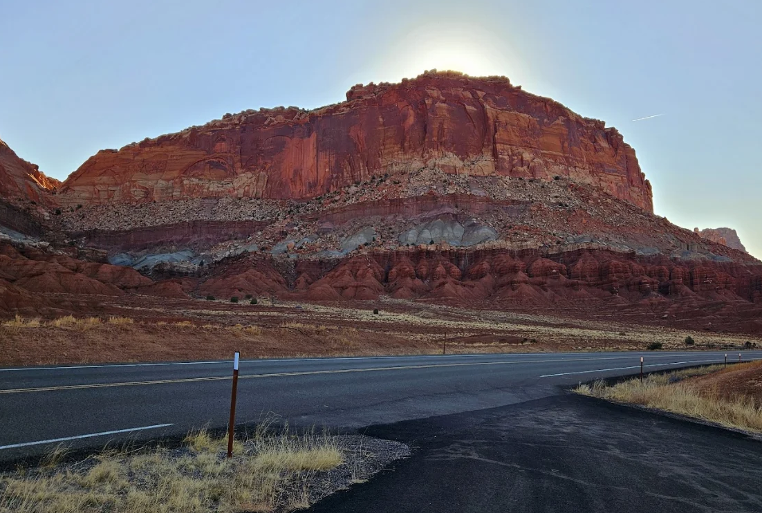
Torrey sits on Utah State Route 24, which runs from US 50 near Salina in the north, south through Loa, past Torrey, through Capitol Reef National Park and on to Hanksville before turning northeast to meet Interstate 70 west of Green River. Scenic Byway 12 joins Highway 24 just east of Torrey, which is the road up from Bryce Canyon over Boulder Mountain.
The park visitor center is 11 miles east of Torrey. You will see eight miles quoted in places, including on the state tourism site, but the Park Service publishes 11 miles to its own building and we use the park's figure.
Once you are here, the planning hub sequences the trip and the lodging overview covers where to sleep. If you are arriving on Byway 12, the byway page is the drive itself rather than the logistics.
Read the small print on this one
Distances, and what they are actually measured to
Almost every published distance for this corner of Utah is measured to Capitol Reef National Park, not to Torrey. Nobody official publishes a distance chart to the town. Where we show a figure below, the last column tells you whose number it is.
| From | Distance | Time | Whose figure |
|---|---|---|---|
| Salt Lake City | 235 mi to the park | About 3.5 hours | Utah Office of Tourism. Its Capitol Reef page says 3.5 to 4 hours, which is the more realistic figure with stops |
| Moab | 156 mi to the park | Not published | Utah Office of Tourism |
| Arches National Park | 155 mi to the park | Not published | Utah Office of Tourism |
| Bryce Canyon National Park | 137 mi to the park | About 3 hours on Byway 12 | Distance from the Utah Office of Tourism, time from the National Park Service |
| Zion National Park | 202 mi to the park | Not published | Utah Office of Tourism |
| St George | 253 mi to the park | Not published | Utah Office of Tourism |
| Escalante | 62 mi to the park | Not published | Utah Office of Tourism |
| Hanksville | 37 mi to the visitor center | Under an hour | National Park Service |
| Bicknell | 18 mi west of the visitor center on Highway 24 | About 25 minutes | National Park Service |
| Las Vegas, Denver, Grand Junction | Not published officially | Not published | Neither the Park Service nor the state publishes these. We are not going to invent them |
Add 11 miles to any Capitol Reef figure to reach Torrey from the east, or subtract it if you are arriving from the west, since Torrey sits on the western approach. That arithmetic is ours, not anyone's published number.
The gap in that table is real and worth saying out loud. Las Vegas, Denver and Grand Junction are three of the most common arrival points for this part of Utah, and no official source publishes a distance from any of them. Your mapping app will give you a figure and it will be about right. We would rather flag the absence than dress up a route planner estimate as a published fact.
Four ways in
The approaches, and what each one is like
| Approach | Route | What it is like | Season |
|---|---|---|---|
| From I 70 west, coming from Denver or Grand Junction | Exit 149, then SR 24 for 43.8 miles, then SR 24 again for 37.3 miles to the visitor center | Empty high desert, then the park itself. You arrive from the east, so the park comes before the town | All year |
| From I 70 east, coming from Salt Lake City | Exit 40, then SR 120, SR 118 and SR 119, then SR 24 east for 63.4 miles | Through Richfield and the Fremont valley farm towns. The standard route from the north | All year |
| From I 15 north, coming from St George or Las Vegas | Exit 95 to SR 20, US 89, SR 62, then SR 24 east for 47.1 miles | The long way round the plateaus. Slow, quiet and pretty | All year |
| From Bryce Canyon or Escalante | Scenic Byway 12 to its junction with SR 24 just east of Torrey | The best drive in Utah and the one that takes longest. Climbs to a 9,600 foot summit on Boulder Mountain | Open all year but hazardous in winter |
Those mileages are the Park Service's own turn by turn directions, which is why they are given to a tenth of a mile. Note that all four are measured to the visitor center, so Torrey itself is 11 miles earlier on the western approaches and 11 miles further on the eastern one.
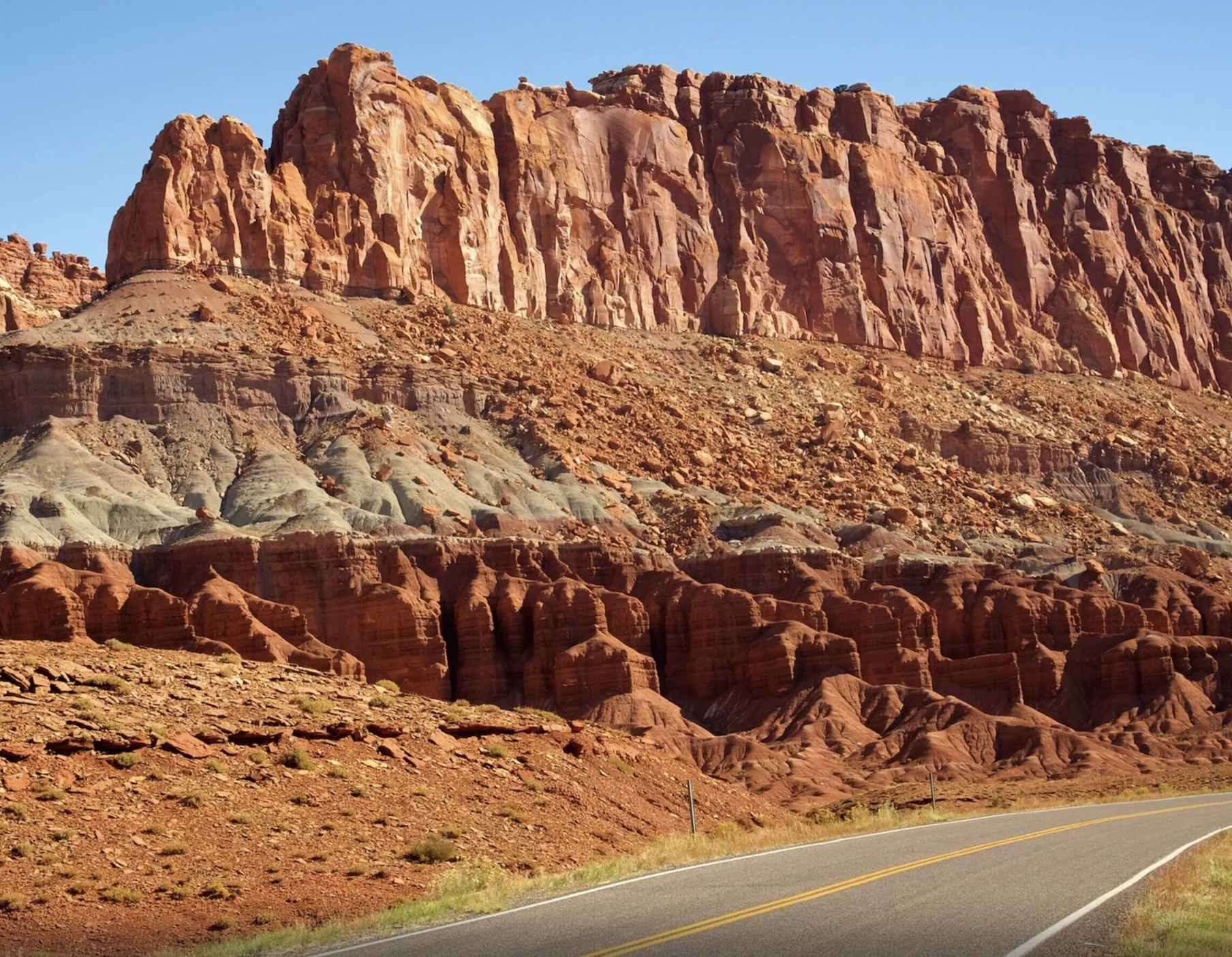
Highway 24 from Loa in the north to Hanksville in the east is designated the Capitol Reef Country Scenic Byway under Utah state rules, which is a nice thing to know but changes nothing about the driving. The stretch through the park is genuinely spectacular and it costs nothing, since Highway 24 has no entrance gate.
Coming up from Bryce on Byway 12 is the route most people underestimate. The Park Service puts it at about three hours, and Utah's own byway guide suggests allowing two to four days for the whole road. Both are correct, for different trips.
There is no easy answer here
Flying in
No airport in Wayne County appears on the Federal Aviation Administration's list of commercial service airports, which is the list of every airport in the country with scheduled passenger service. The nearest real options are a long drive in every direction.
| Airport | Code | Scale | Use it if |
|---|---|---|---|
| Salt Lake City International | SLC | Large hub, 13.4 million boardings | You want choice of flights and a rental car counter that is open. The default answer |
| Grand Junction Regional, Colorado | GJT | 309,500 boardings | You are coming from Denver, Dallas, Phoenix, Las Vegas or Salt Lake and want to link Moab and Arches into the trip |
| St George Regional | SGU | 219,300 boardings | You are building a southern Utah loop through Zion and Bryce and arriving on Byway 12 |
| Harry Reid International, Las Vegas | LAS | Large hub, 26.5 million boardings | The cheapest flights, and you do not mind the longest drive |
| Canyonlands Regional, Moab | CNY | 12,600 boardings | You are already flying into Moab. Small, limited schedule, but the closest scheduled service to this side of Utah |
No official source publishes any airport's distance to Torrey, so we are not giving you mileages here. What we can tell you is that all of them mean a rental car and at least two hours of driving, and Salt Lake City means about three and a half.
Private aircraft
Wayne Wonderland Airport, identifier 38U, sits between Loa and Bicknell. Federal and state records list it under Loa while Wayne County describes it as near Bicknell, which tells you something about how small this valley is. Utah's transportation department classifies it as an essential access airport and notes it supports visitors coming for Capitol Reef and Boulder Mountain, and is a critical link for emergency medical providers and firefighting.
The county says fuel is available on site from a credit card activated pump taking Visa or Mastercard. We could not find a published runway length or surface for 38U in any federal or state record we checked, so confirm current field data yourself before planning to land there. There is a second county airport at Hanksville, with a 5,001 foot paved runway and a 4,841 foot unpaved one.
Public transport
There is none. Utah's transportation department publishes a list of every public transit provider in the state and no service in Wayne County, Torrey, Loa or Bicknell appears on it. There is no intercity bus, no shuttle from any airport and no park shuttle inside Capitol Reef.
That is an absence from an official roster rather than a government statement that nothing exists, so if you find a seasonal service we have missed we would like to know. But plan on a car.
The practical part
Fuel, food, and the Sunday problem
The Park Service is direct about what is not here. There are limited services in the park, there are no restaurants or gas stations within the park boundaries. And the nearest gasoline and fuel is available in Torrey, 11 miles west, and Hanksville, 37 miles east.
So the fuel map is simple. Coming from the north or west, fill in Loa or Torrey. Coming from the east, fill in Hanksville. Coming up Byway 12 from Boulder, fill before you start the mountain, because no official source publishes where the last fuel is on that approach and we are not going to guess for you.
The sentence that catches people out
From the Park Service's own local services page: many local businesses are closed during the winter off season, as well as on Sundays year round.
That is not a small thing in a town this size. A Sunday arrival in November can mean a closed restaurant, a closed grocery and a closed visitor information office. Groceries are seasonal in Torrey and year round in Loa, which is the practical workaround: stock up in Loa on the way through.
Medical care: the Park Service points to the Wayne Community Health Center in Bicknell for basic medical and dental care and a pharmacy, 18 miles west of the visitor center. That is the nearest care of any kind, and it is a health center rather than a hospital.
Cell service: none inside the park. The Park Service says cell service is available in most nearby towns depending on your provider, which in practice means Torrey is fine and the canyons are not. Download maps and reservations before you leave town.
Torrey has restaurants, lodging and a visitor information center. The town page covers what it does and does not have, the restaurants page covers eating, and the hotels page names every property.
Yes, you can come in winter
What the approaches do in snow
None of the roads to Torrey close for the season. Utah's transportation department publishes a list of every state route it closes each winter, and that list names nine specific mountain roads. Highway 24, Byway 12 and SR 72 over Hogan Pass are not among them.
That is not the same as saying they are easy. The Park Service's own directions page says Byway 12 has a summit of 9,600 feet on Boulder Mountain and can be hazardous to drive in the winter, and advises checking road conditions and the state's road cameras before your trip. SR 72 over Hogan Pass north of Loa reaches roughly 8,960 feet by Forest Service figures for the pass. Both are real mountain roads in a real winter.
The state does operate a traction device requirement system, with designated highway segments where vehicles must be chained or four wheel drive when conditions warrant. We could not retrieve the current designated segment list, so we cannot tell you whether Byway 12 or Highway 24 carry a designation. Check the state road conditions site before a winter crossing rather than relying on this page.
The simplest winter rule for this area: come in on Highway 24 from the north or east, which stays low, and save Byway 12 over Boulder Mountain for a clear forecast. The park itself is open all year and so are two loops of its campground.
One specific warning
The road your phone may suggest
The Park Service publishes a warning about this by name. Some GPS units and cell phones direct travelers to take the South Draw Road from Lower Bowns Campground and Reservoir. Its description: this is an unmaintained, high clearance 4WD road, not suitable to passenger cars, RVs, or inexperienced drivers. South Draw Road is not recommended.
Land managers rarely use the phrase not recommended. When one does, treat it as the end of the discussion rather than a challenge.
The broader instruction from the same page is blunter still: do not rely on a GPS unit to guide you into the park. Use a map instead. Between that and the absence of cell service inside the park, a paper map in the glovebox is not nostalgia here, it is the backup.
Every unpaved road in the park with its vehicle requirement is on the road conditions page, along with the phone line that carries the current answer: 435 425 3791, press #1 then #4.
Straight answers
Getting here questions
What is the nearest airport to Capitol Reef National Park?
There is no commercial airport anywhere near. Salt Lake City International is the practical answer for most visitors, about 235 miles and three and a half hours to the park. Grand Junction in Colorado, St George, Las Vegas and the small Canyonlands Regional at Moab are the other scheduled service options. No airport in Wayne County has scheduled passenger service.
How far is Torrey from Salt Lake City?
The Utah Office of Tourism publishes 235 miles from Salt Lake City to Capitol Reef National Park and a drive time of about three and a half hours, with its Capitol Reef page saying three and a half to four. Torrey is 11 miles west of the park visitor center, so it is slightly closer coming from the north.
How far is Torrey from the Capitol Reef visitor center?
Eleven miles. The Park Service publishes that figure on its local services page. You will see eight miles quoted elsewhere including on state tourism pages, which may be measuring to a park boundary rather than the building. We use the park's own number.
Is there a bus or shuttle to Torrey?
No. Utah's transportation department lists every public transit provider in the state and none serves Wayne County. There is no intercity bus, no airport shuttle and no shuttle inside Capitol Reef National Park. You need a car.
Where is the last gas before Capitol Reef?
Torrey coming from the west and Hanksville coming from the east, at 11 and 37 miles from the visitor center. There are no gas stations inside the park. Groceries are seasonal in Torrey and year round in Loa, so Loa is the better restock stop on the northern approach.
Can I get to Torrey in winter?
Yes. None of the approach roads close for the season, and Highway 24 stays low. Scenic Byway 12 over Boulder Mountain reaches a 9,600 foot summit and the Park Service says it can be hazardous to drive in winter, so check conditions and road cameras before choosing that route.
Is there cell service in Torrey and the park?
Cell service is available in most nearby towns depending on your provider, and is not available inside the park. The Park Service also advises not relying on a GPS unit to guide you into the park and carrying a map instead.
What is open on Sunday?
Less than you expect. The Park Service states that many local businesses are closed during the winter off season as well as on Sundays year round. The park itself is open every day, as is Highway 24 through it, but plan a Sunday around a picnic rather than a restaurant.
Route mileages, distances to the visitor center, fuel and services and the South Draw warning come from the National Park Service, primarily its directions page and its local services page. Distance chart figures come from the Utah Office of Tourism and airport figures from the Federal Aviation Administration, all checked September 2026.
Next step
Book the car, then book the bed
Getting here is the easy part once you accept it is a drive. Where you sleep decides how early you can be at a trailhead.
Also useful: camping instead, choosing between the nearby towns and picking a month. Or who writes this site.